Food safety is not only about the products that reach our tables being healthy and hygienic. It is also closely linked to how, where, and under what conditions these products are produced. In today’s world, faced with threats such as population growth, climate crises, and the risk of natural resource depletion, transformation in the agricultural sector is inevitable. In this transformation, we turn our eyes to the sky. Satellites and space-supported systems are becoming the new guardians of food safety.
24/7 Monitoring of Farmland with Satellites
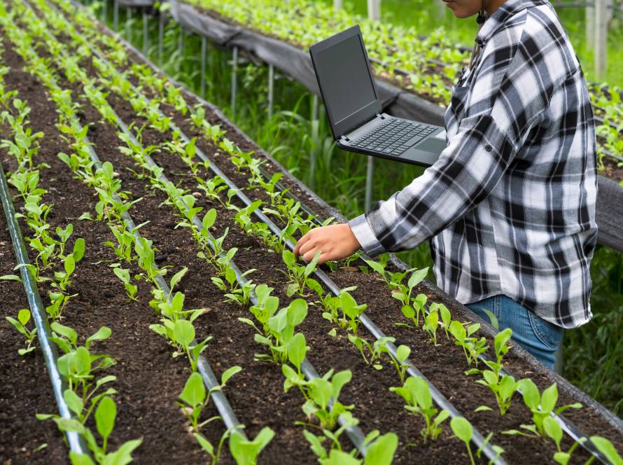
Monitoring fields with traditional methods was time-consuming, costly, and often limited to regional data. Today, thanks to satellite imaging systems, vast agricultural areas can be observed in real time and in a much more comprehensive way. Parameters such as plant health, soil moisture levels, planting patterns, and water usage can be analyzed with remarkable precision.
For example, data such as NDVI (Normalized Difference Vegetation Index) makes it possible to determine the density and vitality of vegetation through multispectral images captured by satellites. This allows farmers to monitor the development of their crops instantly and take preventive action.
Early Warning Systems: Staying One Step Ahead in the Fight Against Drought and Pests
Satellites do not only show the current situation. They also provide early warnings about potential risks. Systems integrated with meteorological data can predict approaching drought, excessive rainfall, or frost risks in advance. Similarly, the spread of plant diseases or pests can be mapped through the analysis of temperature and humidity data, allowing measures to be taken before they spread.
Traceability in Food Safety
Transparency along the journey from field to table is becoming increasingly important. Consumers now pay attention not only to taste, but also to the production process, sources, and environmental impact. Agricultural monitoring systems supported by satellite data play a critical role here. Information such as when a product was planted, how it was irrigated, what fertilizers were used, and what the drought risk was can be digitally archived and made auditable throughout the entire process.
What Does This Mean for Fermented Foods Like Pickles?
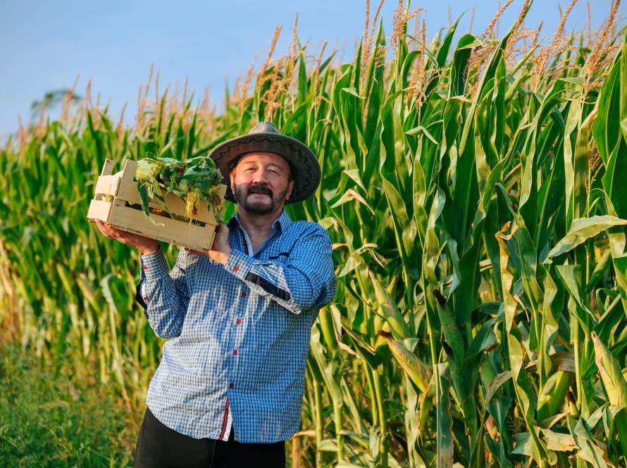
These developments also bring great value to the production of processed products such as fermented foods. For example, when the areas where cucumbers, cabbage, and peppers for pickling are grown are monitored by satellites, a much more predictable production process emerges in terms of quality and sustainability. The production conditions of geographically indicated vegetables can be documented, and the question “Did this pickle really come from this region?” can be answered with concrete data.
Such information is also effective in building trust in international markets. Producers who can maintain high quality standards and document them with digital data stand out in global competition.
Assurance from the Sky
The future of agriculture is shaped by a balance that does not deny technology while also respecting the nature of the soil. When data from space combines with the farmer’s intuition, sustainable, traceable, and responsible agricultural production that respects both nature and human health becomes possible. The field is now monitored not only on the ground, but also in the sky. And this is becoming one of the strongest shields of food safety.