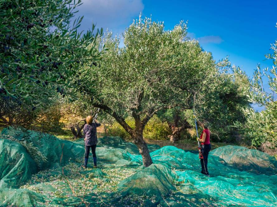
Traditional farming methods have long relied on experience and the cycles of nature. However, in recent years, technology has been quietly yet powerfully transforming fieldwork. Satellite data lies at the heart of this transformation, offering producers a view from the sky. Harvest planning is no longer just about intuition and experience; it has become a smarter, more sustainable journey grounded in data and science.
The Contribution of Satellite Data to Agriculture
Satellite technologies, equipped with high-resolution imagery and precise sensors, can monitor soil, plant health, and weather conditions in real-time. This data goes beyond surface visuals, providing insights into soil moisture levels, plant vitality, and growth stages. As a result, decision-making processes for farmers and agricultural professionals have been elevated to an entirely new dimension.
A New Horizon in Harvest Timing
Traditional harvest planning often relied on observations and past experiences. However, each season brings different dynamics—climate change, unexpected rainfall, and temperature fluctuations can render conventional methods inadequate. With satellite data, producers can track field developments day by day and scientifically determine the optimal harvest time.
For instance, indicators like the Normalized Difference Vegetation Index (NDVI) provide color-coded maps from satellite imagery, revealing how healthy plants are. These maps play a crucial role in identifying which areas are ready for earlier or later harvesting.
Efficiency in Resource Management
Satellite data is critical not only for harvest timing but also for resource management. Determining irrigation needs, optimizing fertilization plans, and predicting potential yield losses have become much easier. This allows for the efficient use of resources like water and fertilizers, promoting both environmental sustainability and economic efficiency.
Climate Change and Risk Management
The agricultural sector is one of the most affected by the climate crisis. Rising temperatures, irregular rainfall, and extreme weather events directly threaten production. Satellite data mitigates these risks by enabling early detection, allowing farmers to take swift and effective measures. For example, data predicting upcoming drought periods supports smarter irrigation planning.
The Future of Agriculture: Data-Driven Decision-Making
Today, farmers look not only at the soil but also at data. Satellite data is a cornerstone of agriculture’s digital transformation. Making smart, data-driven decisions at every stage—from planting to harvest—ensures a more resilient and sustainable future for agriculture.
Harvest is not just a process of gathering crops; it is a harmonious song of nature and human effort. Satellite data allows us to read the notes of this song more accurately. A more efficient future for farmers and a kinder one for nature is made possible by this data from the sky. Because now agriculture begins not only on earth but also in the sky.